

KABUL RIVER (Kābol Rōd, also called Daryā-ye Kābol, Figure 1), river in eastern Afghanistan and tributary of the Indus. The Kabul river forms one of Afghanistan’s four major river systems and is the only Afghan river that flows, as tributary of the Indus, into the sea. Its drainage area takes up large proportions of eastern Afghanistan with the nine provinces of Nangarhār, Kunar, Laḡmān, Lōgar, Kabul, Kāpisā, Parvān, Panjšēr, and Bāmiān. In comparison with Afghanistan’s other rivers, the dimensions of the Kabul are rather unimposing, particularly in terms of length (approximately 350 km). Its source is located at Sar Čašma, east of the entrance to the Unai pass about 14,000 feet above sea level in the Kōh-e Bābā mountains northwest of Kabul. Three other major rivers, the Hari Rōd, Arḡandāb, and Helmand, also rise from this area. From its source, the head stream of the Kabul takes a southwestern course and traverses the hilly area of Maydān-Wardak. At Rišikor the river enters a plain that is considered the central valley of Kabul. Watering the Afghan capital, the Kabul river breaks through geologically old gneiss massifs and forms a narrow valley between the Kōh-e Šēr-Darvāza in the south and the Kōh-e Asmāʾi in the north. Beyond, it waters the eastern portions of Kabul province and receives the waters of the Lōgar river (200 kilometers long) just four kilometers east of the city of Kabul. The Lōgar, which drains the areas south and southwest of the Afghan capital, traverses a fertile valley which is often called the “granary of Kabul.” After the juncture with the Lōgar, the main river enters one of the most spectacular mountain gorges of Afghanistan, the Tang-e Ḡāru through which the main traffic artery runs from Kabul to the eastern city of Jalālābād.
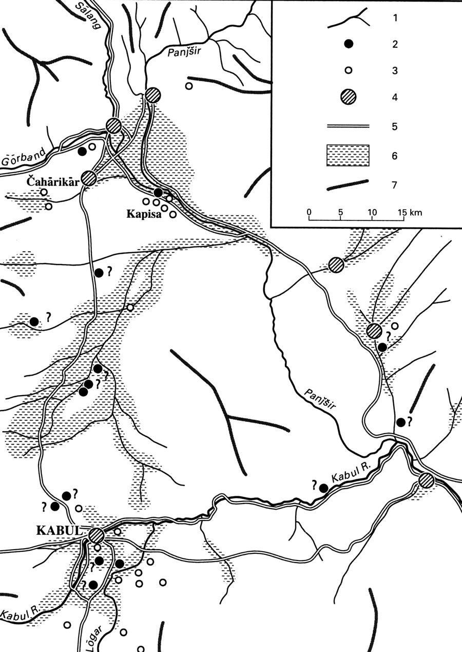
Near Sarōbi, the Kabul is joined by its most important tributary, the Panjšēr (320 km), which rises near the Anjōman pass in the Hindu Kush. Taking a northeast-southwestern course, the Panjšēr river forms the famous Panjšēr valley, a stronghold of the Afghan Mujahidin during the time of the Soviet occupation (1979-89). At the small town of Jābul al-Serāj, the Panjšēr leaves the Sālang valley and, reinforced by the Ḡorband river, takes a southeastern course.
East of Sarōbi, the Kabul river enters the plain of Jalālābād, where it is fed by its last important tributary coming from the north, the Kunar. Near Dakka southeast of Jalalābād, the river turns north and then east into the Peshawar valley; it does not flow directly through the Khyber Pass but breaks north of the pass through the Safēd Kōh and enters Pakistan. The Kabul joins the Indus west of Attock in the North West Frontier Province.
In the 20th century, the Kabul river became subject to large-scale dam projects initiated by European countries for the production of hydroelectric power. The dam of Sarōbi built with German assistance was inaugurated in 1957 and provided the Afghan capital with electricity. Ten years later Soviet experts finished the project of Naḡlu above Sarōbi. Further downstream the Soviets erected a large dam in the Darunta gorge located west of Jalālābād. A fourth project for the production of electricity was initiated by Germans engineers near Māhipar between Kabul and Naḡlu in the 1960s. As typical mountain river fed by melt water in spring, the Kabul is exposed to considerable fluctuations in its water amount. Since the 1990s the river has been repeatedly affected by severe droughts and often has dried up, especially during summer.
Bibliography:
Louis Dupree, Afghanistan, Princeton, 1973.
General Atlas of Afghanista/Atlas General De L’Afghanistan/Aṭlas-e ʿomumi wa moṣavvar-e Afḡānestān, Šāmel-e awżāʿ-e ṭabiʿi, siāsi, eqteṣādi, tāriḵi, ejtemāʿi, āmār va eṭṭelāʿāt, Moʾasesa-ye joḡrāfiāʾi va kārtogrāfi-e Saḥāb, Teheran, 1995.
Erwin Grötzbach, Afghanistan. Eine geographische Länderkunde. Darmstadt, 1990.
Max Klimburg, Afghanistan, Das Land im historischen Spannungsfeld Mittelasiens, Wien, 1966.
C. R. Markham, “The Upper Basin of the Kabul River,” Proceedings of the Royal Geographical Society and Monthly Record of Geography, New Monthly Series 1/2, 1879, pp. 110-21.
James W. Spain, The Pathan Borderland, Karachi, 1963.
(Andreas Wilde)
Originally Published: September 15, 2009
Last Updated: April 19, 2012
This article is available in print.
Vol. XV, Fasc. 3, pp. 322-324
Andreas Wilde, “KABUL RIVER,” Encyclopaedia Iranica, XV/3, pp. 322-324, available online at http://www.iranicaonline.org/articles/kabul-river (accessed on 30 December 2012).